Six Ways Drones are Changing the Industry
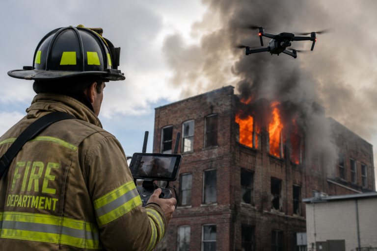
The question often arises, “How can drones be used on engineering and construction projects?” The simple answer is almost anywhere. Drone Technology has advanced significantly over the past decade and is now being used on projects of all sizes. From surveying large developments and infrastructure projects to inspecting buildings and monitoring construction progress, drones provide valuable information quickly, safely, and accurately.
ONE: TOPOGRAPHIC SURVEYS
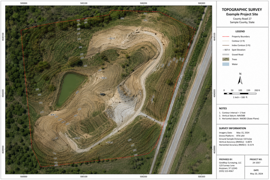
Traditionally, topographic surveys required crews to spend days or even weeks collecting field data across a site. Drone Technology allows surveyors to capture thousands of data points in a single flight, creating accurate topographic maps and terrain models in a fraction of the time.
This technology is particularly useful for large developments, road projects, landfills, quarries, and remote sites where traditional surveying methods can be time consuming and costly.
TWO: CONSTRUCTION PROGRESS MONITORING
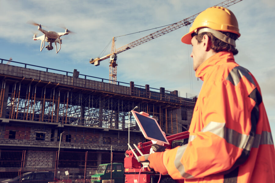
Drones provide an easy and effective way to document project progress throughout construction.
Regular drone flights help owners, contractors, and consultants track site activity, confirm completed work, and spot potential issues before they turn into expensive delays. The imagery can also be used for stakeholder updates, project reporting, and construction documentation.
Having an aerial perspective of a project can help everyone stay informed and ensure work is progressing according to schedule.
THREE: INFRASTRUCTURE INSPECTIONS
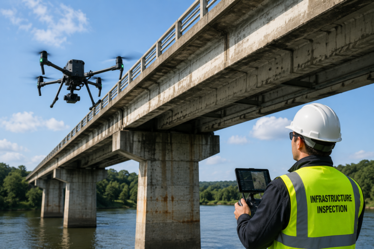
Inspecting bridges, towers, roofs, dams, and industrial facilities often requires specialized equipment, traffic control, or working at heights.
Drones can safely capture high-resolution photographs and video of difficult-to-access areas while reducing risks to workers. Engineers can review the collected data from the office and identify defects, deterioration, or maintenance requirements without extensive site access requirements.
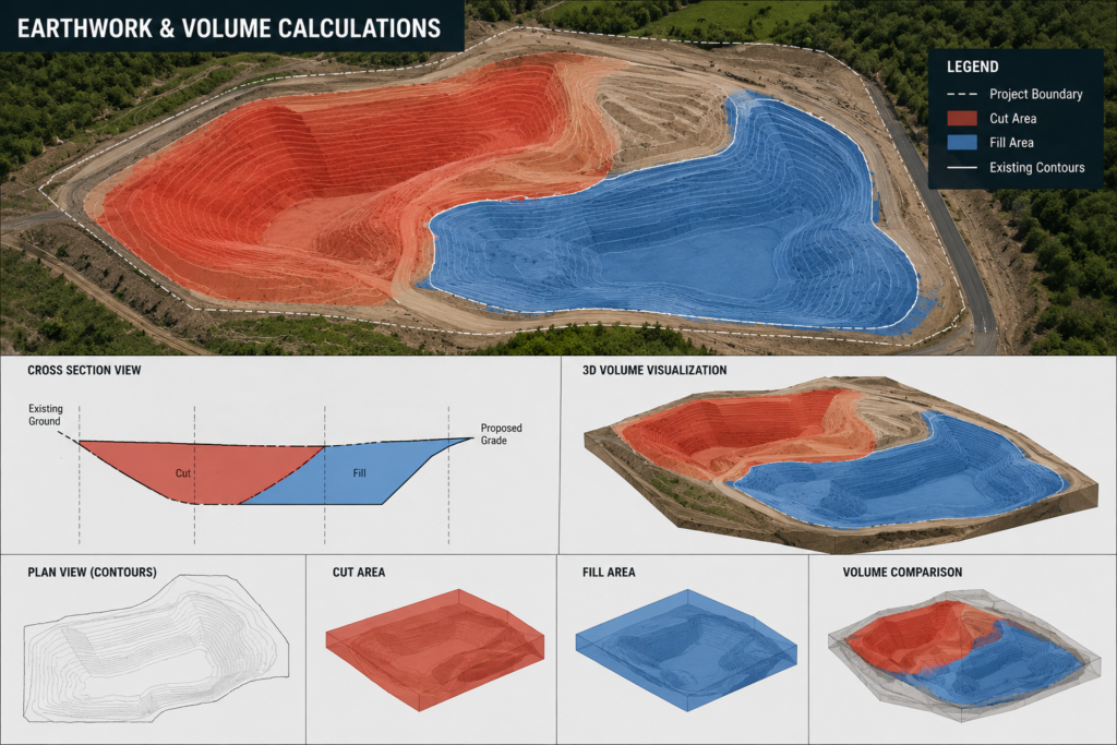
FOUR: EARTHWORK AND VOLUME CALCULATIONS
One of the most valuable applications of drone technology is measuring stockpiles, excavation volumes, and earthworks.
Using aerial mapping software, drones can quickly calculate cut and fill quantities and monitor material movement throughout a project. This information helps contractors improve planning, verify quantities, and better manage project costs.
The result is improved accuracy and reduced uncertainty when compared to traditional estimation methods.
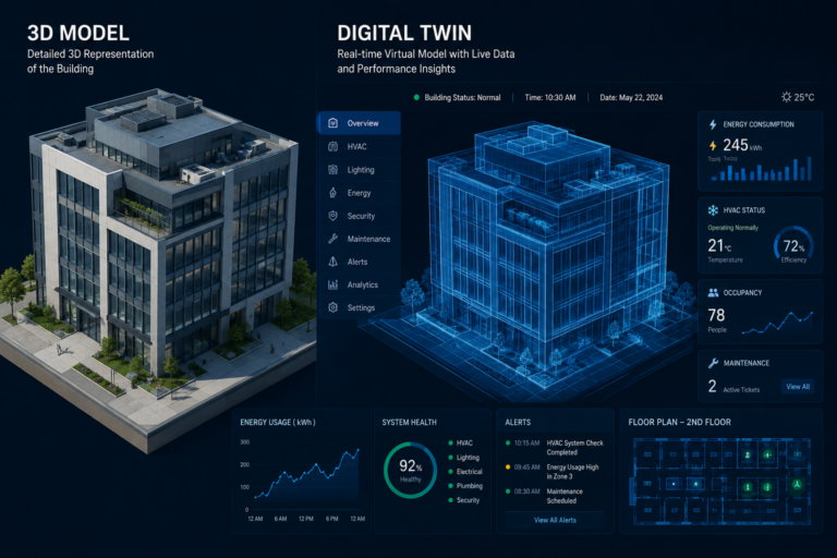
FIVE: 3D MODELS AND DIGITAL TWINS
Drone imagery can be processed into detailed 3D models that accurately represent existing conditions.
These models can be used by engineers, architects, planners, and contractors throughout the design and construction process. They provide valuable information for project planning, clash detection, site analysis, and future asset management.
When combined with technologies such as LiDAR scanning and Building Information Modeling (BIM), drone data can contribute to the creation of digital twins that support the entire lifecycle of a project.
SIX: IMPROVED SAFETY
Perhaps the greatest benefit of drone technology is improved safety.
Many tasks that previously required workers to climb structures, access hazardous areas, or operate near active traffic can now be completed remotely using a drone. Reducing exposure to hazards helps improve overall project safety while still providing accurate and reliable information.
Drone technology continues to evolve and is becoming a valuable tool for engineers, contractors, and project owners. Whether the goal is surveying a site, monitoring construction progress, inspecting infrastructure, or creating detailed 3D models, drones provide accurate information that can help save time, reduce costs, and improve project outcomes.
As projects become increasingly complex, drone technology will continue to play an important role throughout the project lifecycle.